Fil:South Sudan adm location map.svg

Opprinnelig fil (SVG-fil, standardstørrelse 1 561 × 1 133 piksler, filstørrelse: 201 KB)
| Denne filen er fra Wikimedia Commons og kan brukes av andre prosjekter. Informasjonen fra filbeskrivelsessiden vises nedenfor. |
Beskrivelse
| Beskrivelse |
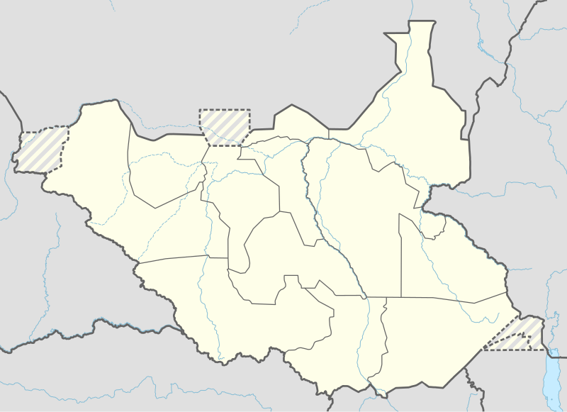
Deutsch: Positionskarte von Südsudan
English: Location map of South Sudan
|
||||||||||||
| Dato | |||||||||||||
| Kilde |
Own work using:
|
||||||||||||
| Opphavsperson | NordNordWest | ||||||||||||
| Andre versjoner |
|
||||||||||||
_adm_location_map.svg)
_adm_location_map.svg)


|
This map has been made or improved in the German Kartenwerkstatt (Map Lab). You can propose maps to improve as well.
|
Lisensiering
Usage of this file with:

explanatory notes: Legally binding is only the full legalcode. For a free usage I recommend to respect the following licence conditions:
1. Provide my name as given above: NordNordWest,
2. a copy of, or the URI for, the applicable license: https://creativecommons.org/licenses/by-sa/3.0/de/legalcode,
3. the title of the work,
4. in the case of an adaptation, a credit identifying the use of the work in the adaptation.
This license and the rights granted hereunder will terminate automatically upon any breach by you of the terms of this license. Any of the above conditions can be waived if you get permission from the copyright holder. If you have questions or wish differing conditions, please contact me through nnwest or my discussion page ![]() t-online.de
t-online.de
- Du står fritt:
- til å dele – til å kopiere, distribuere og overføre verket
- til å blande – til å endre verket
- Under de følgende betingelsene:
- navngivelse – Du må kreditere verket på passende vis, lenke til lisensen og indikere hvorvidt det har blitt gjort endringer. Du kan gjøre det på enhver rimelig måte, men ikke på en måte som antyder at lisensgiveren støtter deg eller din bruk av verket.
- del på samme vilkår – Dersom du remikser, omarbeider eller på annen måte bygger på dette verket, må du kun distribuere resultatet under den samme eller en samsvarende lisens som denne.

Filhistorikk
Klikk på et tidspunkt for å vise filen slik den var på det tidspunktet.
| Dato/klokkeslett | Miniatyrbilde | Dimensjoner | Bruker | Kommentar | |
|---|---|---|---|---|---|
| nåværende | 23. apr. 2020 kl. 20:25 | | 1 561 × 1 133 (201 KB) | Leviavery | Added Pibor and Ruweng Administrative Areas |
| 25. feb. 2020 kl. 18:16 |  | 1 561 × 1 133 (199 KB) | Myrabert01 | Reverted to version as of 13:47, 25 February 2020 (UTC) South Sudan revert back to 10 States. https://www.aljazeera.com/news/2020/02/6-years-war-peace-finally-south-sudan-200223114919537.html | |
| 25. feb. 2020 kl. 16:39 |  | 1 561 × 1 133 (213 KB) | NordNordWest | Reverted to version as of 14:39, 13 August 2016 (UTC); no reason for this revert | |
| 25. feb. 2020 kl. 15:47 |  | 1 561 × 1 133 (199 KB) | Myrabert01 | Reverted to version as of 18:18, 12 November 2014 (UTC). South Sudan revert back to 10 States. | |
| 13. aug. 2016 kl. 16:39 |  | 1 561 × 1 133 (213 KB) | NordNordWest | corr | |
| 12. aug. 2016 kl. 14:31 |  | 1 561 × 1 133 (214 KB) | NordNordWest | upd, new states | |
| 12. nov. 2014 kl. 20:18 |  | 1 561 × 1 133 (199 KB) | NordNordWest | == {{int:filedesc}} == {{Information |Description= {{de|1=Positionskarte von Südsudan}} {{en|1=Location map of South Sudan}} {{Location map series N |stretching=101 |top=12.7 |bottom=3.2 |left=23.15 |right=36.4 }} |Source={{Own using}} * United States... |
Filbruk
De følgende 7 sidene bruker denne filen:
Global filbruk
Følgende andre wikier bruker denne filen:
- Bruk i ab.wikipedia.org
- Bruk i af.wikipedia.org
- Bruk i an.wikipedia.org
- Bruk i av.wikipedia.org
- Bruk i azb.wikipedia.org
- Bruk i az.wikipedia.org
- Bruk i be.wikipedia.org
- Bruk i bg.wikipedia.org
- Bruk i bn.wikipedia.org
- Bruk i bs.wikipedia.org
- Bruk i ceb.wikipedia.org
Vis mer global bruk av denne filen.