Fil:Sandusky Ohio aerial view.jpg
Størrelse på denne forhåndsvisningen: 800 × 533 piksler. Andre oppløsninger: 320 × 213 piksler | 640 × 426 piksler | 1 024 × 682 piksler | 1 500 × 999 piksler.
Opprinnelig fil (1 500 × 999 piksler, filstørrelse: 761 KB, MIME-type: image/jpeg)
| Denne filen er fra Wikimedia Commons og kan brukes av andre prosjekter. Informasjonen fra filbeskrivelsessiden vises nedenfor. |
| Beskrivelse |
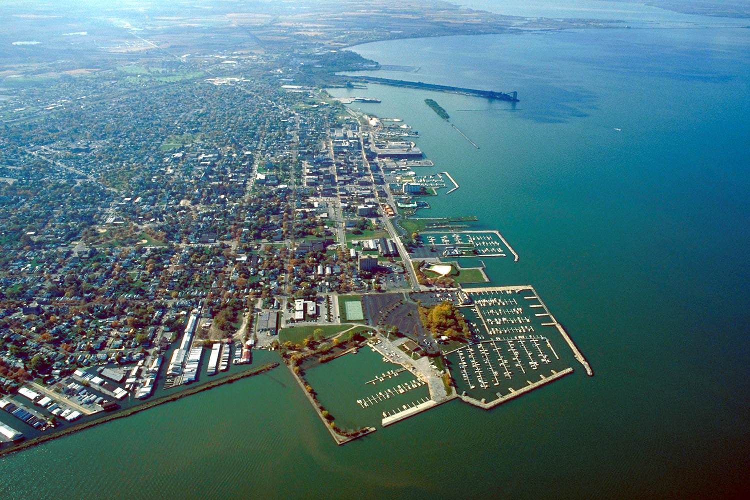
English: Aerial view of Sandusky, Ohio, USA. The view is to the west-southwest along the waterfront on Sandusky Bay, a large inlet and bay off of Lake Erie. |
|||
| Dato | ||||
| Kilde |
U.S. Army Corps of Engineers Digital Visual Library Image page Image description page Digital Visual Library home page |
|||
| Opphavsperson | Ken Winters, U.S. Army Corps of Engineers | |||
| Tillatelse (Gjenbruk av denne filen) |
|
|||
| Sted | Sandusky, Ohio, USA |
| Kameraposisjon | | Dette og andre bilder på denne posisjonen på: OpenStreetMap |
|---|
Filhistorikk
Klikk på et tidspunkt for å vise filen slik den var på det tidspunktet.
| Dato/klokkeslett | Miniatyrbilde | Dimensjoner | Bruker | Kommentar | |
|---|---|---|---|---|---|
| nåværende | 24. mar. 2007 kl. 23:44 | | 1 500 × 999 (761 KB) | DanMS | {{Information | Description = {{en|Aerial view of Sandusky, Ohio, USA. The view is to the west-southwest along the waterfront on Sandusky Bay, a large inlet and bay off of Lake Erie.}} | Source = U.S. Army Corps of Engineers Digital Visual Libr |
Filbruk
Det er ingen sider som bruker denne filen.
Global filbruk
Følgende andre wikier bruker denne filen:
- Bruk i azb.wikipedia.org
- Bruk i ceb.wikipedia.org
- Bruk i de.wikipedia.org
- Bruk i en.wikinews.org
- Bruk i es.wikipedia.org
- Bruk i fa.wikipedia.org
- Bruk i fi.wikipedia.org
- Bruk i fr.wikipedia.org
- Bruk i it.wikipedia.org
- Bruk i ko.wikipedia.org
- Bruk i pl.wikipedia.org
- Bruk i pt.wikipedia.org
- Bruk i ru.wikipedia.org
- Bruk i sh.wikipedia.org
- Bruk i simple.wikipedia.org
- Bruk i sr.wikipedia.org
- Bruk i sv.wikipedia.org
- Bruk i szl.wikipedia.org
- Bruk i tr.wikipedia.org
- Bruk i uk.wikipedia.org
- Bruk i uz.wikipedia.org
- Bruk i zh-min-nan.wikipedia.org
- Bruk i zh.wikipedia.org