Fil:Maryland US Congressional District 8 (since 2013).tif
Størrelse for denne PNG-forhåndsvisningen av denne TIF-filen: 800 × 384 piksler Andre oppløsninger: 320 × 154 piksler | 640 × 307 piksler | 1 024 × 492 piksler | 2 098 × 1 008 piksler.
Opprinnelig fil (2 098 × 1 008 piksler, filstørrelse: 3,84 MB, MIME-type: image/tiff)
| Denne filen er fra Wikimedia Commons og kan brukes av andre prosjekter. Informasjonen fra filbeskrivelsessiden vises nedenfor. |
Beskrivelse
| Beskrivelse |
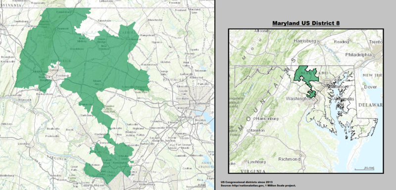
English: Boundaries for Maryland’s 8th United States Federal Congressional District. |
| Dato | |
| Kilde | Source: GIS shapefile data created by the United States Department of the Interior, as part of the "1 Million Scale" geospatial data project. Retrieved from: http://nationalatlas.gov/atlasftp-1m.html?openChapters=#chpbound |
| Opphavsperson | 1: GIS (congressional districts, 2013) shapefile data was created by the United States Department of the Interior. 2: Data was rendered using ArcGIS® software by Esri. 3: File developed for use on Wikipedia and elsewhere by 7partparadigm. |
Lisensiering
This map was obtained from an edition of the National Atlas of the United States. Like almost all works of the U.S. federal government, works from the National Atlas are in the public domain in the United States.
Online access: NationalAtlas.gov | 1970 print edition: Library of Congress, Perry-Castañeda Library
|
Filhistorikk
Klikk på et tidspunkt for å vise filen slik den var på det tidspunktet.
| Dato/klokkeslett | Miniatyrbilde | Dimensjoner | Bruker | Kommentar | |
|---|---|---|---|---|---|
| nåværende | 16. mai 2014 kl. 01:07 |  | 2 098 × 1 008 (3,84 MB) | 7partparadigm | User created page with UploadWizard |
Filbruk
Den følgende siden bruker denne filen:
Global filbruk
Følgende andre wikier bruker denne filen:
- Bruk i en.wikipedia.org
- Bruk i fr.wikipedia.org
- Bruk i hu.wikipedia.org
- Bruk i nl.wikipedia.org
- Bruk i www.wikidata.org