Fil:Bamburgh map 1947.jpg
Ingen høyere oppløsning tilgjengelig.
Bamburgh_map_1947.jpg (746 × 436 piksler, filstørrelse: 199 KB, MIME-type: image/jpeg)
| Denne filen er fra Wikimedia Commons og kan brukes av andre prosjekter. Informasjonen fra filbeskrivelsessiden vises nedenfor. |

|
Dette bildet har blitt flyttet til Wikimedia Commons fra en.wikipedia ved bruk av et robotskript. All kildeinformasjon er fortsatt tilgjengelig og krever gjennomgang. I tillegg kan det være feil i noen eller alle informasjonsfeltene; informasjon om dette bildet bør ikke bli betraktet som pålitelig før det har blitt gjennomgått og nødvendige koreksjoner har blitt utført. Når informasjonen er gjennomgått, bør denne malen fjernes. For detaljer, se under. Sjekk nå! |
| Beskrivelse |
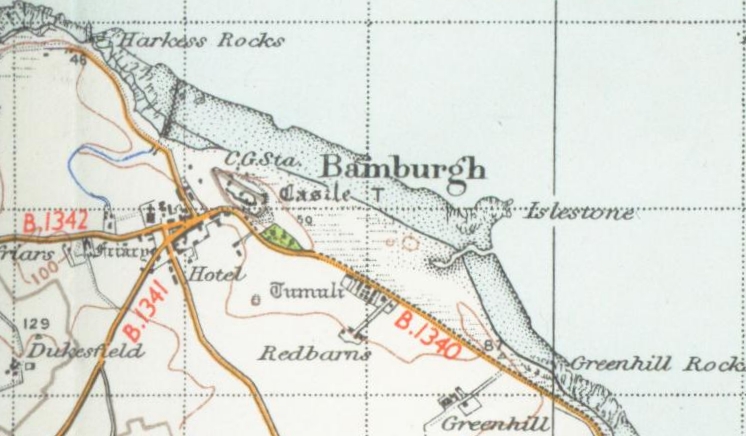
English: Reproduced from the 1945 OS map |
| Dato | 25. august 2006 (original upload date) |
| Kilde | Transferred from en.wikipedia to Commons by Oxyman using CommonsHelper. |
| Opphavsperson | The original uploader was Geni at engelsk Wikipedia. |
Lisensiering
This work is an Ordnance Survey map over 50 years old, which is covered by Crown Copyright which in this case expires 50 years after publication. Ordnance Survey does however ask that they be credited and that the date of publication be given.
Any ancillary rights gained through the creation of the electronic version are granted as freely usable under any circumstances.
|
This work created by the United Kingdom Government is in the public domain.
This is because it is one of the following:
HMSO has declared that the expiry of Crown Copyrights applies worldwide (ref: HMSO Email Reply)
|
 |
Orginal opplastningslogg
The original description page was here. All following user names refer to en.wikipedia.
- 2006-08-25 13:44 Geni 746×436× (204188 bytes) taken from the 1947 OS map {{OldOS}}
Filhistorikk
Klikk på et tidspunkt for å vise filen slik den var på det tidspunktet.
| Dato/klokkeslett | Miniatyrbilde | Dimensjoner | Bruker | Kommentar | |
|---|---|---|---|---|---|
| nåværende | 6. okt. 2009 kl. 01:29 | | 746 × 436 (199 KB) | File Upload Bot (Magnus Manske) | {{BotMoveToCommons|en.wikipedia|year={{subst:CURRENTYEAR}}|month={{subst:CURRENTMONTHNAME}}|day={{subst:CURRENTDAY}}}} {{Information |Description={{en|Reproduced from the 1945 OS map}} |Source=Transferred from [http://en.wikipedia.org en.wikipedia]; tran |
Filbruk
Den følgende siden bruker denne filen:
Global filbruk
Følgende andre wikier bruker denne filen: