Fil:NepalBajhangDistrictmap.png

Opprinnelig fil (3 508 × 2 479 piksler, filstørrelse: 299 KB, MIME-type: image/png)
| Denne filen er fra Wikimedia Commons og kan brukes av andre prosjekter. Informasjonen fra filbeskrivelsessiden vises nedenfor. |
| Beskrivelse |
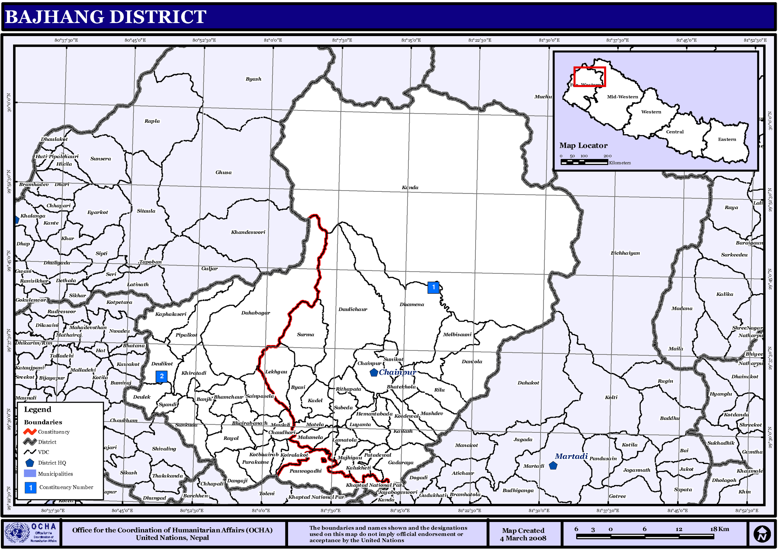
English: Map displaying Village Development Committees in Bajhang District, Nepal |
|||
| Dato | ||||
| Kilde | http://www.un.org.np/maps/district-maps/far-western/Bajhang.pdf | |||
| Opphavsperson | United Nations | |||
| Tillatelse (Gjenbruk av denne filen) |
|

Filhistorikk
Klikk på et tidspunkt for å vise filen slik den var på det tidspunktet.
| Dato/klokkeslett | Miniatyrbilde | Dimensjoner | Bruker | Kommentar | |
|---|---|---|---|---|---|
| nåværende | 6. nov. 2008 kl. 03:38 | | 3 508 × 2 479 (299 KB) | Sadalmelik | {{Information |Description={{en|1=Map displaying Village Development Committees in Bajhang District, Nepal}} |Source=http://www.un.org.np/maps/district-maps/far-western/Bajhang.pdf |Date=March 4, 2008 |Author=United Nations |Permission={{PD-UN}} |othe |
Filbruk
Den følgende siden bruker denne filen:
Global filbruk
Følgende andre wikier bruker denne filen:
- Bruk i de.wikipedia.org
- Bruk i dty.wikipedia.org
- काडाँ गाउँ विकास समिती
- दगांजी गाउँ विकास समिती
- दातौला गाउँ विकास समिती
- देउलेक गाउँ विकास समिती
- पाराकाने गाउँ विकास समिती
- भातेखोला गाउँ विकास समिती
- मटेला गाउँ विकास समिती
- माझीगाउ गाउँ विकास समिती
- मालुमेला गाउँ विकास समिती
- मासदेव गाउँ विकास समिती
- मेलविसौनी गाउँ विकास समिती
- मौलाली गाउँ विकास समिती
- रायल गाउँ विकास समिती
- रिलु गाउँ विकास समिती
- लामातोला गाउँ विकास समिती
- लेकगाँउ गाउँ विकास समिती
- सुनकुडा
- सुनिकोट गाउँ विकास समिती
- सुर्मा गाउँ विकास समिती
- सैनापसेला गाउँ विकास समिती
- स्याडी गाउँ विकास समिती
- कडेल गाउँ विकास समिती
- काफलसेरी गाउँ विकास समिती
- कालुखेती गाउँ विकास समिती
- कैलाश गाउँ विकास समिती
- कोइरालाकोट
- कोटदेवल गाउँ विकास समिती
- कोटभैरभ गाउँ विकास समिती
- खडतडी गाउँ विकास समिती
- गडाराय चौतारा गाउँ विकास समिती
- चौधारी गाउँ विकास समिती
- जयपृथ्वी नगरपालिका
- दहबगर गाउँ विकास समिती
- देउलीकोट गाउँ विकास समिती
- दैलीचौर गाउँ विकास समिती
- धमेना गाउँ विकास समिती
- पाटादेवल गाउँ विकास समिती
- पीपलकोट गाउँ विकास समिती
- पौवागढी गाउँ विकास समिती
- बाँझ गाउँ विकास समिती
- भामचौर गाउँ विकास समिती
- भैरवनाथ गाउँ विकास समिती
- यासी गाउँ विकास समिती
- ढाँचा:बझाङ जिल्लाका गाविस तथा नगरपालिका
- Bruk i en.wikipedia.org
- Bruk i fi.wikipedia.org
- Bruk i it.wikipedia.org
- Bruk i mai.wikipedia.org
Vis mer global bruk av denne filen.