Fil:Asou-Bay ria coast aerial photograph.JPG
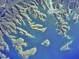
Størrelse på denne forhåndsvisningen: 800 × 599 piksler. Andre oppløsninger: 320 × 239 piksler | 640 × 479 piksler | 1 024 × 766 piksler | 1 280 × 958 piksler | 2 560 × 1 915 piksler | 3 487 × 2 609 piksler.
Opprinnelig fil (3 487 × 2 609 piksler, filstørrelse: 3,63 MB, MIME-type: image/jpeg)
| Denne filen er fra Wikimedia Commons og kan brukes av andre prosjekter. Informasjonen fra filbeskrivelsessiden vises nedenfor. |
Beskrivelse
| Beskrivelse |
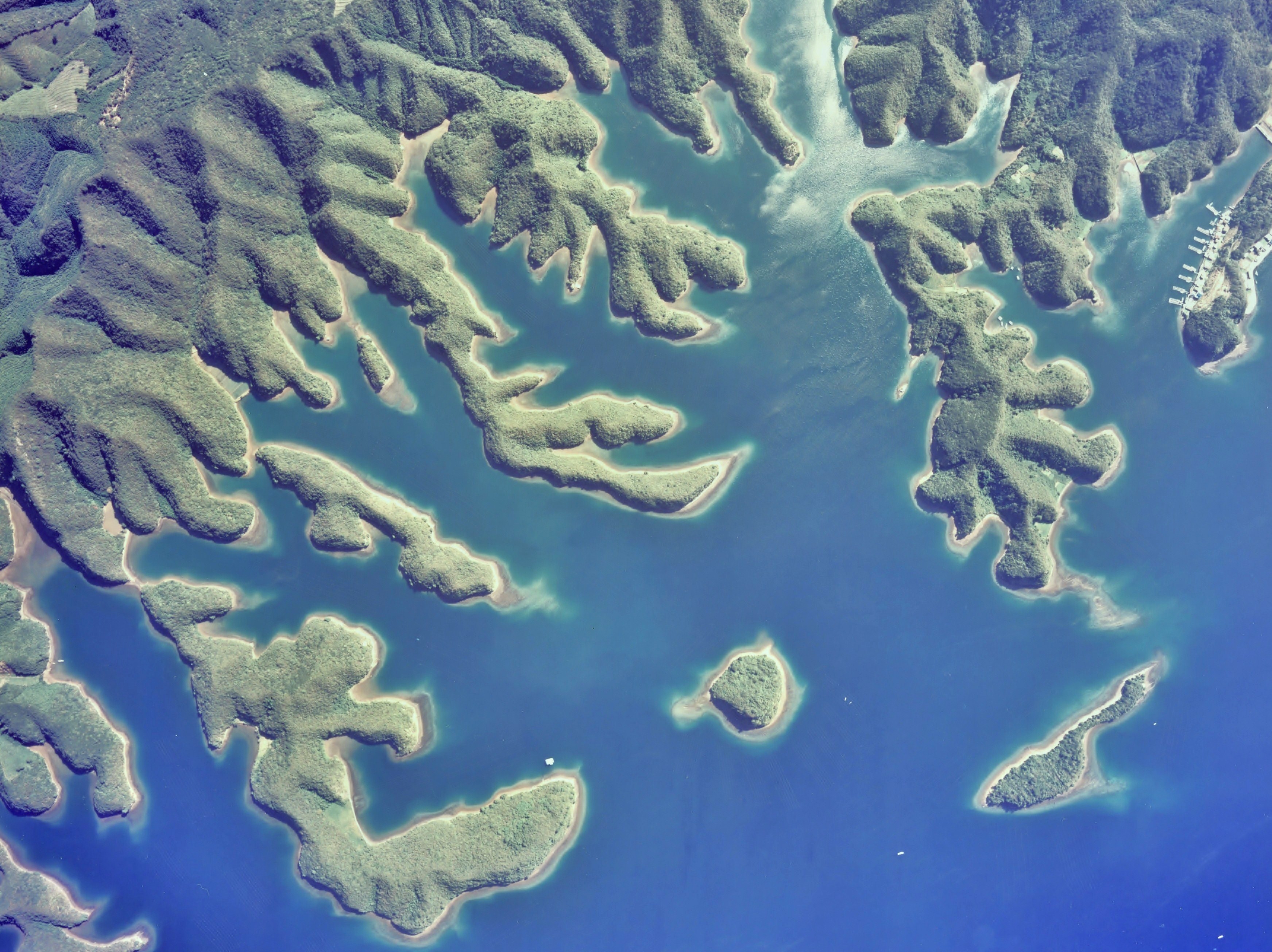
English: Gulf of Asou-Bay ria coast(drowned valley)aerial photograph in Tsushima Island Japan
日本語: 対馬、浅茅湾大千切島付近のリアス式海岸(溺れ谷)地形の空中写真。Cku-77-1_c16_13-1を使用。 |
| Dato | |
| Kilde | 国土情報ウェブマッピングシステム |
| Opphavsperson | 国土交通省 |
| Objektposisjon | | Dette og andre bilder på denne posisjonen på: OpenStreetMap |
|---|
Lisensiering

|
Denne filens rettighetsinnehaver, the Ministry of Land, Infrastructure, Transport and Tourism of Japan, tillater alle å bruke filen til ethvert formål, forutsatt at rettighetsinnehaver blir korrekt kreditert. Redistribusjon, bearbeidelser, kommersiell bruk, og alle andre anvendelser er tillatt. |
Navngivelse:
Copyright © National Land Image Information (Color Aerial Photographs), Ministry of Land, Infrastructure, Transport and Tourism
|
 |
This image is copyrighted by the Ministry of Land, Infrastructure, Transport and Tourism of Japan. For terms of use, see the stipulation to use of National Land Information (in Japanese) and message from MLIT (in Japanese and English). When you display this image on an article, include the following phrase in the description: "Made based on National Land Image Information (Color Aerial Photographs), Ministry of Land, Infrastructure, Transport and Tourism".
|
Filhistorikk
Klikk på et tidspunkt for å vise filen slik den var på det tidspunktet.
| Dato/klokkeslett | Miniatyrbilde | Dimensjoner | Bruker | Kommentar | |
|---|---|---|---|---|---|
| nåværende | 4. des. 2010 kl. 04:11 | | 3 487 × 2 609 (3,63 MB) | さかおり | {{Information |Description={{en|1=Gulf of Asou-Bay ria coast(drowned valley)aerial photograph in Tsushima Island Japan {{en|1={{ja|1=対馬、浅茅湾大千切島付近のリアス式海岸(溺れ谷)地形の空中写真。Cku-77-1_c16_13-1を� |
Filbruk
De følgende 2 sidene bruker denne filen:
Global filbruk
Følgende andre wikier bruker denne filen:
- Bruk i bn.wikipedia.org
- Bruk i en.wikipedia.org
- Bruk i ja.wikipedia.org
- Bruk i ko.wikipedia.org
- Bruk i ms.wikipedia.org
- Bruk i nl.wikipedia.org
- Bruk i nl.wiktionary.org